
WP 3 - Geophysical investigations of near-surface water resources
– Scientific coordinator : Christophe Voisin (ISTerre, UGA)
Introduction
Freshwater resources and their management will remain an important socio-economic issue of the 21st century. In the context of drinking water production for large cities, there is a need to refine our understanding of the hydrogeological behavior of exploited fields in order to ensure their sustainability and to limit their vulnerabilities to potential pollution. In this context, spatio-temporal monitoring of the roof of the water table, classically carried out by point piezometric measurements, constitutes an essential data for characterizing groundwater flows. Such methods might be well designed to characterize, at a given time, the lateral extension of the water table roof but are not efficient to monitor its variation over time. We propose here to investigate the potential and resolution of combined multi-physics arrays in this context.
Objectives/Methodology
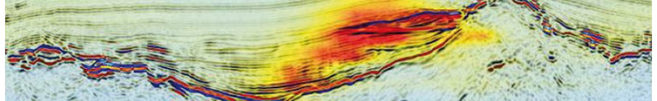
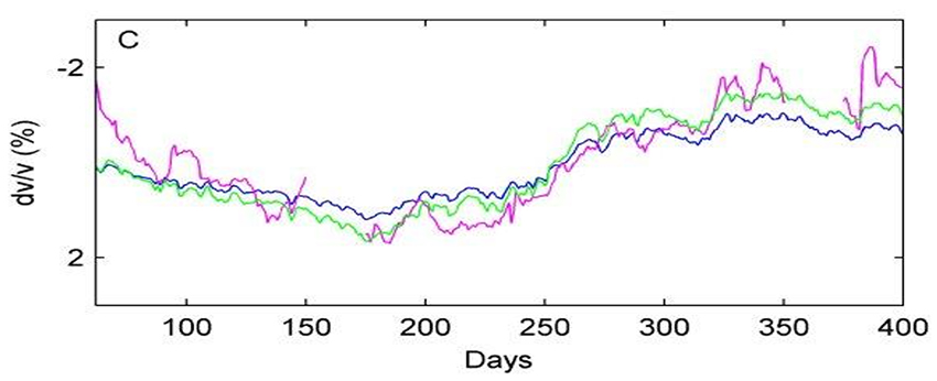
The arrays will be deployed on the water supply field of Lyon, which is well monitored by 45 piezometers and which benefits from a large number of pumping cycles so that variations are strong over space and time. Such passive seismic monitoring method successfully tested in another context, was able to retrieve very accurately water table variations in the 3-4 m depth range (Fig. 3, Voisin et al., 2016) using two stations. Here, we would like to increase the spatial resolution by deploying 100 seismic-electric sensors on a 100 m by 100 m grid. We will take advantage of such multi-physics system to incorporate the results in hydrological flows modelling. In addition, other characterizing geophysical methods will be tested in this controlled environment, especially for quantitative water content assessment in the unsaturated and saturated zone (NMR, Ground Penetrating radar, Self-potential).
Expected results
Expected results are the sensitivity of seismic and electric noise methods to finely monitor water table variations in an urban controlled context. Image interpretation will be performed using poroelastic and Archie’s laws, through data fusion and joint inversion. Comparison with other monitoring and characterization methods (self-potential, Ground Penetrating radar, NMR) will be performed, providing the input of geophysical results into water flow numerical modeling.
Updated on 15 octobre 2020
